
SoCal Trail Ridding Adventure
 02-11-2010, 12:41 AM
#1
Banned Forever!
Thread Starter
Join Date: Nov 2009
Posts: 1,147
Likes: 0
Received 0 Likes
on
0 Posts

Attention SoCal, join me for a one day off road adventure through the Santa Ana mountains February 21st 2010. My truck can fit up to 4 people in its Screw Cab or you can drive your own truck if you'd like. You don't really need 4x4 for the drive but it is recommended.
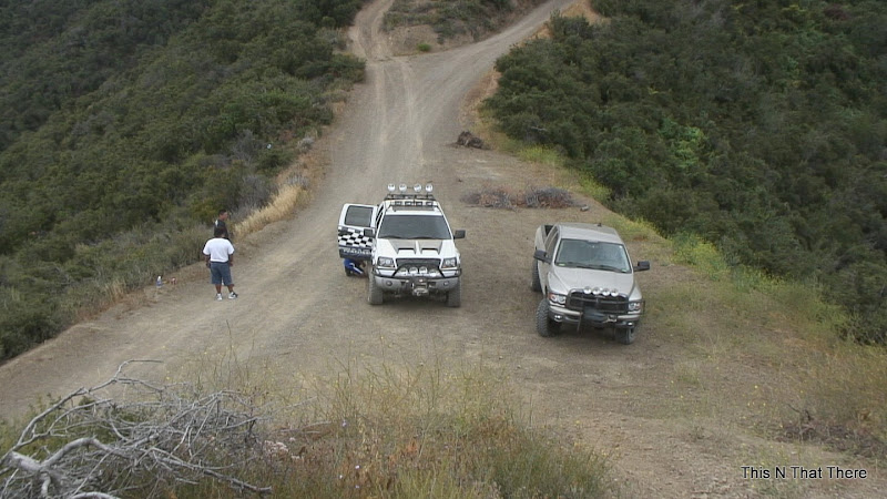
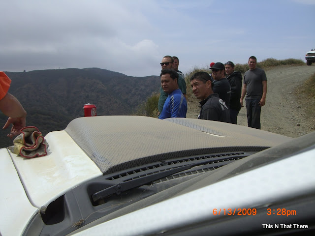
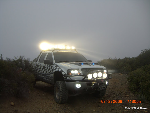
We'll be riding at Indian truck trail, a fire road which climbs about 3,000 feet up the eastern slopes of the Santa Ana Mountains within Cleveland National Forest in Riverside County between Lake Elsinore and Corona, CA. The trail starts at various points but our starting point will be at the 15 Fwy and Indian Truck trial. This trail starts climbing steadily but is fairly simple, though narrow with some loose, uneven surfaces and in some areas it offers a combination of two parallel trails, one difficult and the other easy that intersect at several points.
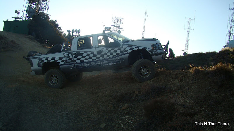
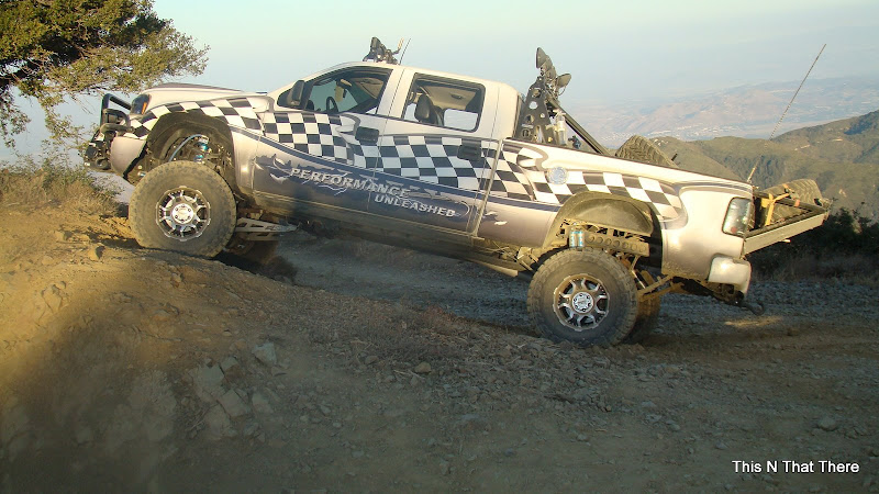
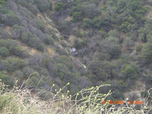
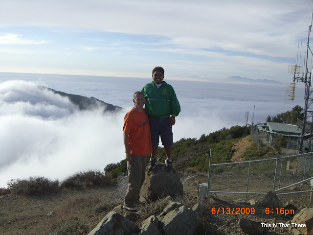
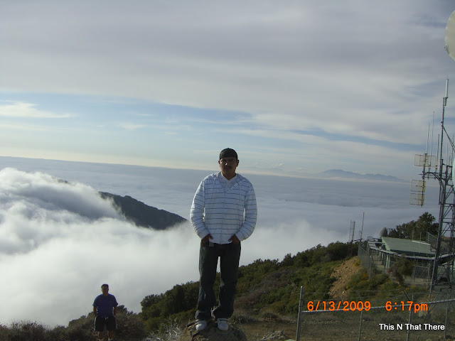
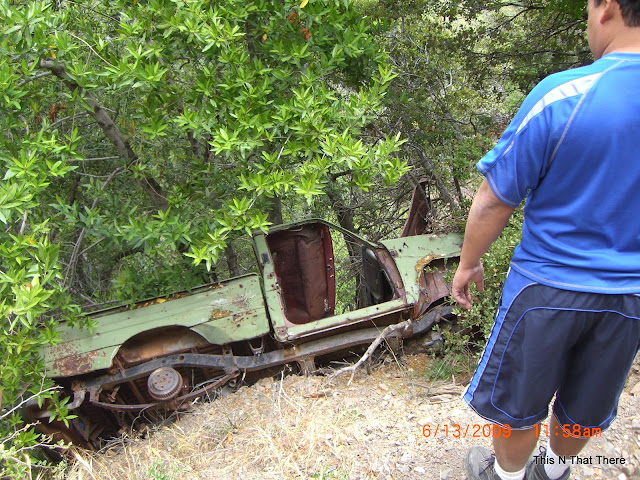
At about 2,000 feet you can see the Temescal Valley towards the east, Lake Elsinore and Lake Mathews also comes into view. With all the rain we've had and will continue to have it should be clear enough to see Mission Viejo, the Joaquin Hills and even the Santa Catalina Islands. At Santiago Peak, the trail becomes normal and we reach the radio and communication towers to the north. At the high ridge we'll stop along the way and enjoy the coastal SoCal awesome views as we picnic all together. It will be a blast so don't miss out. Below are a some videos and some pictures I've taken when I've done the trail in past.


We'll be riding at Indian truck trail, a fire road which climbs about 3,000 feet up the eastern slopes of the Santa Ana Mountains within Cleveland National Forest in Riverside County between Lake Elsinore and Corona, CA. The trail starts at various points but our starting point will be at the 15 Fwy and Indian Truck trial. This trail starts climbing steadily but is fairly simple, though narrow with some loose, uneven surfaces and in some areas it offers a combination of two parallel trails, one difficult and the other easy that intersect at several points.
At about 2,000 feet you can see the Temescal Valley towards the east, Lake Elsinore and Lake Mathews also comes into view. With all the rain we've had and will continue to have it should be clear enough to see Mission Viejo, the Joaquin Hills and even the Santa Catalina Islands. At Santiago Peak, the trail becomes normal and we reach the radio and communication towers to the north. At the high ridge we'll stop along the way and enjoy the coastal SoCal awesome views as we picnic all together. It will be a blast so don't miss out. Below are a some videos and some pictures I've taken when I've done the trail in past.
Last edited by OGTerror; 02-11-2010 at 12:48 AM.


 02-11-2010, 01:23 AM
#4
December 2009 TOTM!
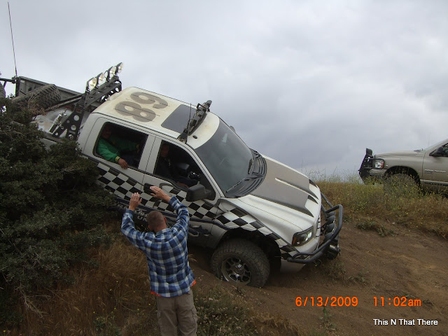
Thats the same trail we did right Leo?
I wish we could of gotten a picture of the truck on that cement block by the tower.. where I almost fell in the hole. YIKES!
I wish we could of gotten a picture of the truck on that cement block by the tower.. where I almost fell in the hole. YIKES!
02-11-2010, 01:44 AM
#6
December 2009 TOTM!
 02-11-2010, 01:51 AM
#7
Senior Member

damn id love to go but im already goin dirt biking this weekend. i go into cleveland alot and my bro lives in the housing track near the entrance to that trail. pretty sweet up there man. i ussually enter via maple springs road. have a fun and safe drive and maybe next time i can make it!
Trending Topics
02-11-2010, 02:17 AM
#8
December 2009 TOTM!
damn id love to go but im already goin dirt biking this weekend. i go into cleveland alot and my bro lives in the housing track near the entrance to that trail. pretty sweet up there man. i ussually enter via maple springs road. have a fun and safe drive and maybe next time i can make it!

